Wednesday, June 29, 2011

Day Five - Leadville to Denver


Monday morning we woke up to big, fat, fluffy snowflakes falling on our little mountain lodge.  The mountain tops were hidden behind low clouds.  As much as I dread seeing snow on vacation (SNOW on VACATION) I have to admit it was beautiful the way the snow highlighted the trees. 

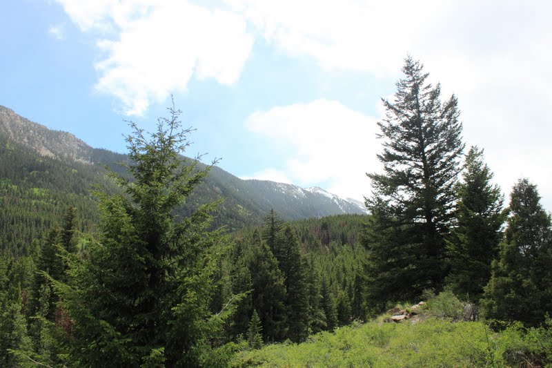
The snow covered peaks were beautiful as well, although on this particular day we could no longer see them.

Judging by the number of scenic pull offs I assume this was an impressive stretch of highway.  However, when we were traversing it we counted ourselves lucky to see the lines on the road.  At certain points the fog (cloud) was so thick we couldn't!


At last we reached Silver Plume.  Not much to say about the actual "town", but this is where we boarded the Georgetown Loop Railroad.


As we chug-chugged our way along the winding narrow gauge track we listened to the guide give us the low-down on the train's history. 

It was originally intended to link the town of Denver with Leadville in the west.  Another railroad made it there first and this line ended at Silver Plume.  For several decades it was considered the "in thing" to catch the train in Denver, travel to Silver Plume for a picnic lunch, then arrive back in the big city for dinner.  The train had to be narrow gauge to accommodate the twisting mountains and steep grades.   By the end of the 1930's the automobile had advanced to the point that railroad travel slacked and the line closed.  The tracks were torn up and sold for scrap metal.

Almost five decades passed before the tracks were rebuilt, buildings reconstructed, and the line opened for tourists.

Today the train goes between the towns of Silver Plume and Georgetown several times each day, making a stop at the Lebanon mines.   There were other interesting facts concerning the elevation difference between the towns and the challenges that presented, but I suppose you'll just have to go there to find out the details...

Earl is showing off his silver ore.


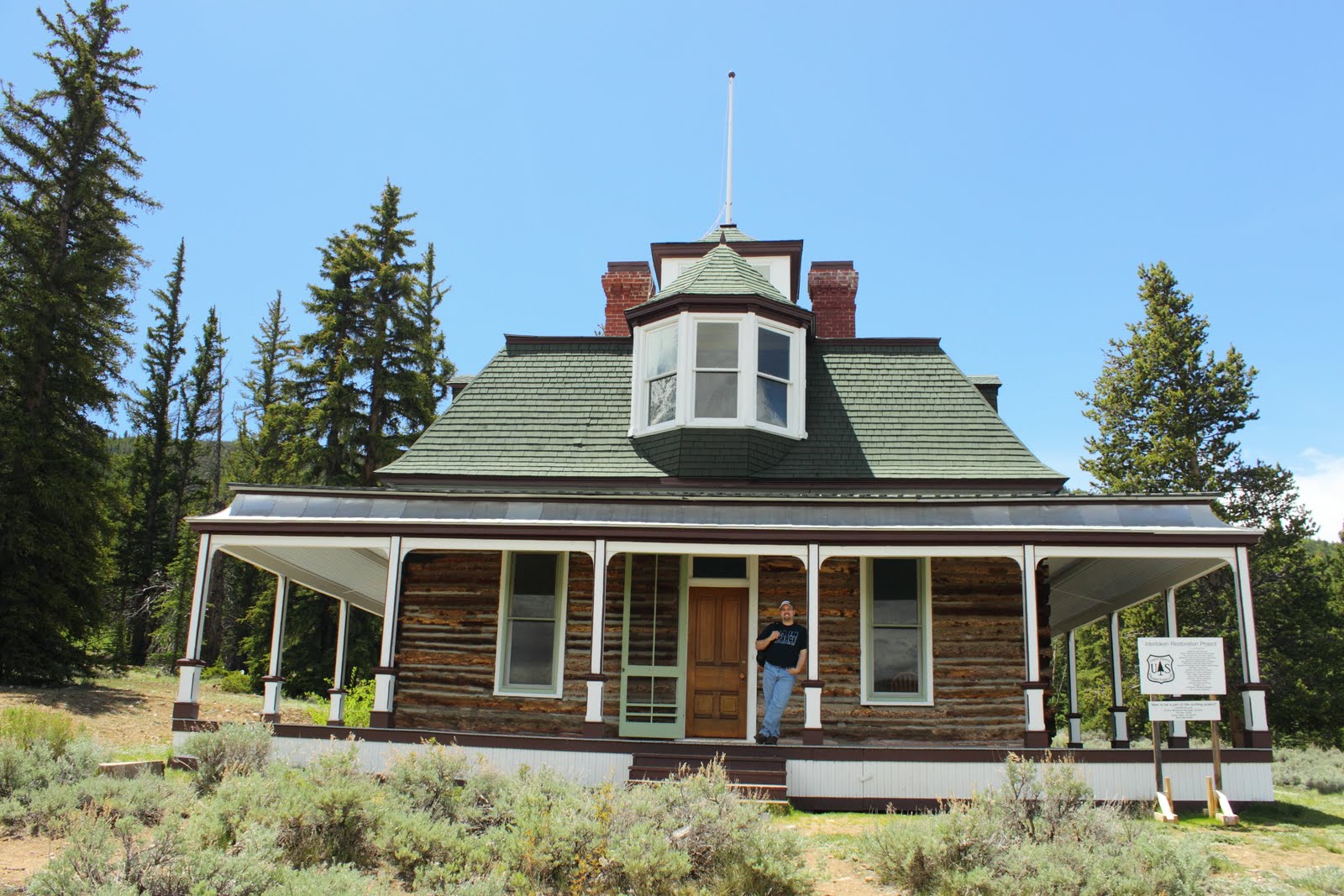
It was about this point in our vacation when I realized I had spent the majority of our time in Colorado staring at the mountains with my mouth hung open like an eejit. 
....couldn't help it.  I just kept saying, "Wooooooooow...."

Georgetown's Devil's Gate Station.

Interesting Georgetown, CO and Georgetown, KY connections....
Georgetown, KY was originally named Lebanon - the name of the mine in Georgetown, CO.
Georgetown, KY was named in honor of President George Washington -
Georgetown, CO was named in honor of the miner George Griffith - originally from KY


They say there's a pot of gold Walmart truck at the end of every rainbow....

The drive back to Denver wasn't nearly as spectacular as driving into the mountains.

Here, the Plains stretch on into the horizon.

The Mile High City!

Our last Bed & Breakfast, the Queen Anne, the delightfully unique.  Modern, yet traditional.  Very crunchy and green.  Owned by a master chef who served us our breakfast - goat cheese, mushroom, and spinach omelets (hold the 'shrooms, thanks) - along with other produce and yummys bought in from local farms. 

We were fortunate to have the Roof Top room, complete with a private hot tub with views of the city and mountains (behind Coors Stadium). 

A perfect ending to our vacation!

Monday, June 27, 2011

Day Four - Independence Pass (part 2)

One of the highlights of our trip to Colorado was the drive to Independence Pass.
While I was worried concerned terrified a nervous wreck before the drive, imagining our car careening over the side of the mountain, the trip was not nearly as bad as I had feared.
Either that, or I was distracted enough with my face plastered against the car window staring at the scene before me that I simply didn't notice the lack of guardrails....or road shoulders....

You know how it looks like the world just kind of falls away just past the road in this picture?
Well...it does!!

The valleys were filling with water from the mountain snow melts.

After a surprisingly short drive, we reached Independence Pass.
This was the highest in elevation we visited during our stay in Colorado.  The air definitely felt thin!
At this point in the Rockies the water melting falls either toward the Pacific Ocean in the west or to the Atlantic/Gulf in the east.

We didn't see the 16 feet of snow we were expecting, but there was still plenty of the white stuff laying around. 
This poor park ranger was furiously shoveling the trail.  The snow was so packed down that the path people were using was about 3 feet off the ground.  Those dark things sticking out of the snow are the tops of a railing to keep people from walking all over the place.

At this point in our vacation I was mentally kicking myself for not buying a wide angle lens.
My lens just couldn't capture the scale of the mountains.
They went on forever it seemed.


If you look closely you'll see the road in the distance.

Evidence of avalanches were everywhere...


This is where the scale looks so wrong.  Those are full sized evergreens, not the bushes they appear to be in the picture!

The Arkansas River begins in this part of the Rockies.  It is named for the spring at its head, not for the state.

Again, another picture that doesn't capture the true scale.  While we were in Twin Lakes looking up at the mountains we thought the bright green was some kind of grass.  Not so.  It was actually the spring leaves of thousands of Aspen trees!

I could imagine sitting beside a roaring fire in this fire ring, listening to the water flowing over the rocks and the wind rustling the trees as it came down over the mountain.

So peaceful!

Sunday, June 26, 2011

Day Four - Twin Lakes (part 1)

On Sunday morning we woke up to gorgeous mountain views (right from our sitting room)...

As well as a hearty breakfast prepared for us by the owners of the Twin Lakes Suite.  The food was delicious - and far too much for any two people to consume in one sitting!

So after stuffing ourselves we went out in search of our adventure for the day.  This charming log cabin was the Twin Lakes Visitor Center.

It was, unfortunately, also closed.

Our B&B owner had told us about the Interlaken Trail, so we headed down to the lake for some hiking.


Could it possibly get any more beautiful?

I seriously doubt it....


It was about a 3 mile hike to get to the old abandoned resort, but with low humidity, cool mountain breezes and hot sun, it was a perfect day for long walk!


Since we kept getting sidetracked by the views....and the pretty rocks on the beach...it took us about an hour and a half to reach the clearing.

Tucked into the trees at the bottom of the mountains was a resort that had previously been a booming tourist destination some 100 years ago.  People have been working hard to restore the old buildings in the hope that it can once again house people. 

I don't know about anyone else, but staying in this place?  I'd jump at the chance to!

I had to fight the urge couldn't resist twirling around singing "The HIIILLLLLSSSSS are aliiiiiiive with the sound of muuuuuuusic!"

;-)

The cottage was open to people, and besides for evidence of a variety of small species of animal inhabitants, was free of any human markings.  The cottage had been moved from its original location (now under the water) and still had the same hardwood floors and trim from when it was built. 

Maybe not surprisingly, since it was quite a hike - literally- there were very few people enjoying this slice of heaven with us.  Actually, for the most part, no matter where we went we didn't have to fight crowds.  I guess it was the off season?  Whatever the case, we loved the solitude and being able to sit and listen to the sounds of nature.